
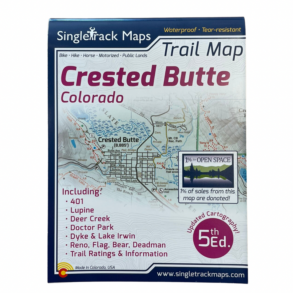
Singletrack Maps
Designed for Hike, bike, horse, motorized, public lands, camping & more...
Printed on waterproof & tear resistant paper for rugged toughness!Map Details:
- Trail Information and Ratings: Easy, Medium, Difficult
- Scale 1:90,000 - 1in = 1.42 Miles or 1in = 2.2 Kilometers
- Detailed Contour Lines. Contour Interval = 80ft
- Measures 4” x 5.5” folded and 36” x 22” fully open
- Printed in May 2022
Field Checked & Accurate!
Field checked cartography for the most accurate and up-to-date map available! We don’t rely on other parties for our data, we get outside and collect our own trail and geographic data.
Detailed
We have spent years collecting geographic data and using local knowledge to give you the most detailed cartography for the areas covered in the maps. Lots of the information and geographic knowledge on this map can't be found on any other maps!
See the Whole Picture
Stop staring at that tiny phone screen & see the entire landscape in one glance on this map! Beautiful and accurate cartography gives you the "big picture" view without having to scroll around on a 4" digital screen.
Trail Information
A trail information panel is included on the map. This information panel describe many of the most popular local trail rides & include specific stats like mileage and elevation gain / loss. The side panel also includes information about campgrounds, local agencies and weather.
A trail map for all users
This map covers all user types from Hiking only trails, Non-Motorized Multi-Use trails, Motorized Multi-Use trails to 4x4 trails. This map is NOT just for mountain bikers we love to hike too and we spent a great amount of time gathering data on hiking only trails and 4 wheel drive trails.
Made in Colorado! From the cartography to the final printing. Every step takes place in Colorado. Buy Local!
- Monarch Crest Trail
- South Fooses Creek Trail, Greens Creek Trail, Agate Creek Trail
- Starvation Creek Trail, Silver Creek Trail, Rainbow Trail
- Marshall Pass
- S Mountain (Arkansas Hills)
- Methodist Mountain
- Buena Vista Midland Trail System
- Broken Boyfriend
- Vitamin B Trail
- Fourmile Travel Management Area
- Colorado Trail
- Continental Divide Trail (CDT)
- Canyon Creek Trail
- Tunnel Lake Trail
- Tomichi Pass, Hancock Pass, Williams Pass, Alpine Tunnel
- Poplar Gulch Trail
- Hope Pass Trail
- Chinaman Gulch 4x4 Trail
- Iron Chest 4x4 Trail
- Iron Mike Mine 4x4 Trail
- Twin Lakes
- Cottonwood Pass
- Aspen Ridge
- Browns Canyon National Monument
The Crested Butte Map Includes:
- Lupine Trail
- Baxter Gulch Trail
- Gunsight Connector Trail
- 401 Trail
- Snodgrass Trail
- Upper & Upper Upper Trail s
- Lower & Upper Lower Trails
- CB Mountain Resort Trails
- Raggeds Wilderness Area
- Green Lake Trail
- The Dyke Trail
- Deer Creek Trail
- Strand Hill Trails
- Brush Creek Tr & Star Pass
- Teocalli
- Reno/Flag/Bear/Deadman
- Spring Creek Canyon
- Doctor Park Trail